Planning a journey from Arizona’s capital to the land of giant sequoias? This guide uncovers everything about traveling Phoenix to Sequoia National Park with real-world tips, travel hacks, costs, and hidden suggestions that can turn your trip into a memory-rich adventure.
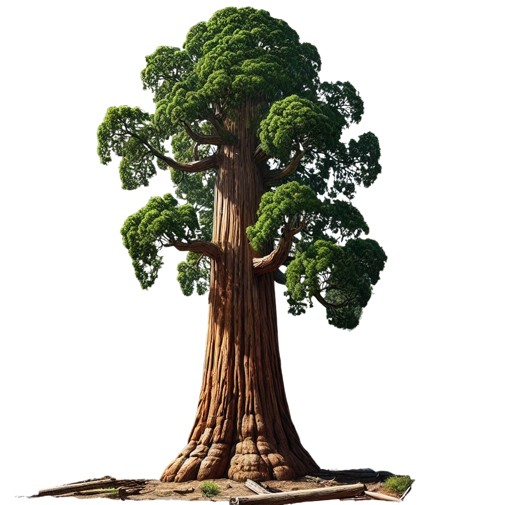
Many people assume Sequoia is just a park full of big trees, but it’s much more, glacial rivers, granite peaks, peaceful campgrounds, and hiking trails that pull you into a world you’ll never forget.
This blog was designed for every type of traveler, road trip lovers, campers, weekend explorers, and families wanting something wild yet manageable. Let’s dive into this detailed travel guide, so every minute of your journey feels smooth, fun, and worth your time.
How Far is Sequoia National Park from Phoenix?
Curious about the distance between Phoenix to Sequoia National Park?
By road, it covers around 594 miles and usually takes about 10 hours and 18 minutes to drive without any long breaks. A flight reduces the direct distance to about 436 miles, but after landing, a car or shuttle is still needed to reach the park.
What Are the Best Routes for a Road Trip from Phoenix to Sequoia?
Let’s explore the 2 best routes in detail with estimated expenses, road conditions, recommended stops, and gas costs, all based on real-time data and trusted resources like Google Maps, AAA Gas Prices, and current 2025 fuel trends.
1. Fastest and Most Popular Route (via I-10 W & CA-99 N)

- Total Distance: 590 miles
- Estimated Drive Time: 9.5 to 10.5 hours
- Route: Phoenix → I-10 West → CA-99 North → Visalia → CA-198 East → Sequoia National Park
Why Choose This Route?
This is the most direct and smoothest drive. You’ll stay on interstate highways for most of the journey, which are well-maintained and equipped with plenty of food, fuel, and lodging options. It’s great for families or those traveling with kids who prefer consistent stops.
Key Stops Along the Way
- Palm Springs – Take a quick break, explore the Coachella Valley, or grab brunch at a local café.
- Bakersfield – Ideal for refueling and food. Also a good overnight stop if splitting the drive.
- Visalia – Gateway town to Sequoia, only 40 miles before the park entrance. Lodges and gas are affordable here.
Estimated Fuel Cost (Round Trip)
Car with 25 MPG fuel efficiency:
- Total Miles: 1,180 miles
- Gas Needed: 47.2 gallons
- Average Gas Price (as per AAA July 2025): $4.85/gallon
- Total Gas Cost: $229
Additional Expenses
- Meals/snacks: $40 per person
- One-night motel in Bakersfield or Visalia (optional): $80 to $130
- Park entry: $35 per vehicle
Total Budget Estimate (for 1 person, round trip): $300 to $400
2. Scenic Desert Route (via US-60 W, US-95 N & CA-58 W)
- Total Distance: 625 miles
- Estimated Drive Time: 10.5 to 11.5 hours
- Route: Phoenix → US-60 W → US-95 N (via Quartzsite) → I-40 W → CA-58 W → Bakersfield → CA-99 N → CA-198 E → Sequoia
Why Choose This Route?
Perfect for those who enjoy wide-open desert landscapes, quirky roadside attractions, and fewer freeway interchanges. It’s quieter than the interstate and offers some interesting stops in Arizona and southeastern California.
Key Stops Along the Way
- Quartzsite, AZ – Known for desert festivals and RV culture. Quick fuel stop.
- Mojave, CA – A desert town with views of wind turbines and unique rock formations.
- Tehachapi – Mountain views, wineries, and railfan spots.
Estimated Fuel Cost (Round Trip)
- Distance:1,250 miles
- Gas Needed: 50 gallons
- Total Gas Cost: $242
Additional Expenses
- Meals/snacks: $45
- Lodging (optional stop at Tehachapi or Mojave): $90 to $140
- Park entry: $35
Total Budget Estimate: $325 to $430
Fly from Phoenix to Sequoia National Park

There’s no airport located inside Sequoia National Park, but air travel is still a convenient option if you’re short on time or prefer not to drive the full distance. You can fly into several nearby regional airports and then rent a car to complete the journey.
✈️ 1. Fresno Yosemite International Airport (FAT)
– Distance to Sequoia National Park: Approximately 80 miles
– Drive Time to Park: Around 2 hours to the Ash Mountain Entrance via CA-180 E and CA-198 E
– Flight Duration from Phoenix (PHX): About 1 hour 50 minutes (non-stop)
– Airlines Operating: Southwest Airlines, American Airlines, United Airlines
– Average Round-Trip Fare: $180 to $260 (when booked 3–4 weeks in advance)
Car Rental Cost (Fresno):
- Compact Car: $55–$70 per day
- Midsize SUV: $75–$100 per day
- All major agencies available: Hertz, Enterprise, Alamo, Budget
✈️ 2. Visalia Municipal Airport (VIS)
– Distance to Sequoia National Park: Around 45 miles
– Drive Time to Park: About 1 hour 20 minutes
– Flight Duration from Phoenix (PHX): No direct commercial flights as of 2025
– Connecting Flights: Rare and limited, mostly via small aircraft charter companies or private flights
– Airfare Estimate (If Available): $300 to $450 round trip via private operators or regional charters
Car Rental Cost (Visalia):
- Compact Car: $60–$75 per day
Very limited availability, it’s recommended to book early
✈️ 3. Bakersfield Meadows Field Airport (BFL)
– Distance to Sequoia National Park: Roughly 95 miles
– Drive Time to Park: Around 2 hours 15 minutes
– Flight Duration from Phoenix (PHX): About 1 hour 40 minutes (non-stop available on select days)
– Airlines Operating: American Airlines, United Express
– Average Round-Trip Fare: $200 to $280
Car Rental Cost (Bakersfield):
- Compact Car: $50–$65 per day
- Mid-size SUV: $70–$95 per day
Major car rental companies operate here, but selection may be smaller than Fresno.
What is the Best Way to Travel Phoenix to Sequoia National Park?
The best way to travel Phoenix to Sequoia National Park depends on your priorities comfort, speed, cost, or adventure.
🚗 Option 1: Road Trip by Car (Most Recommended)

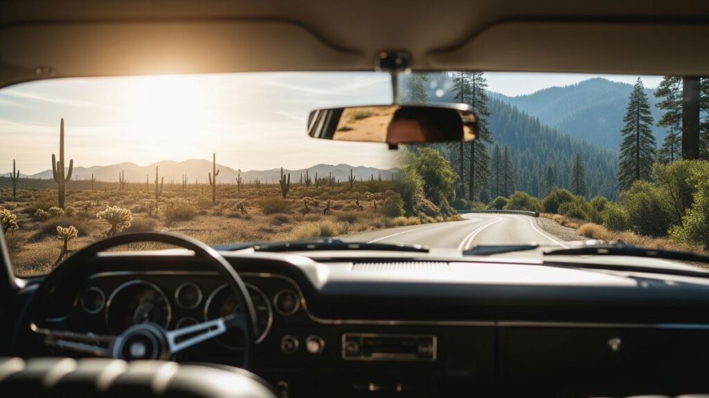
Traveling by car offers the most rewarding experience. You can stop along the way, enjoy diverse landscapes, carry all your gear, and even turn the trip into a multi-day adventure.
- Distance: 590 to 640 miles
- Drive Time: 9.5 to 11 hours (non-stop)
- Gas Cost: $125–$150 (for a round trip, based on $4.80/gallon and 25–30 MPG average)
- Toll Roads: None on main routes
- Accommodation (if staying en route): Motels or hotels in Palm Springs, Bakersfield, or Visalia range $90 to $140/night
Pros:
- Full control over schedule and stops
- Ideal for camping or if carrying hiking gear
- Scenic attractions along the way (e.g., Joshua Tree, Mojave Desert)
Cons:
- Long hours behind the wheel
- California fuel prices can be higher than Arizona
✈️ Option 2: Fly + Drive (Faster but More Expensive)

If you prefer to skip the long drive, fly to the closest regional airports and rent a car to reach the park.
Step 1: Fly from Phoenix Sky Harbor (PHX) to Fresno Yosemite International Airport (FAT)
- Flight Time: 1 hour 45 minutes (nonstop)
- Airfare (round trip): $180 to $260 (economy class, booked 2–4 weeks in advance)
Step 2: Rent a Car at Fresno Airport
- Drive Time to Sequoia National Park: 2 hours (75–90 miles)
- Car Rental Cost: $55 to $75 per day for a compact SUV or mid-size car
- Fuel for Fresno to Sequoia Round Trip: $25 to $35
Total Estimated Cost:
- Flight: $220 average
- Car Rental (2–3 days): $130 to $200
- Fuel: $30
- Total: $380 to $450 per person
Pros:
- Saves 8+ hours of travel time
- Ideal for short weekend getaways
- Less physical strain
Cons:
- Higher cost
- Less flexibility if you want to explore areas outside the park
🚉🚌 Option 3: Train or Bus (Not Ideal, Least Convenient)

Although public transit options exist, they are long and require multiple connections. This is suitable only for travelers with flexible time or seeking budget travel.
Option A: Greyhound Bus
- Route: Phoenix to Bakersfield or Visalia
- Travel Time: 15–18 hours (includes layovers)
- Cost: $85–$120 one-way
- Buses run 1–2 times per day
Option B: Amtrak Train
- Route: Phoenix to Hanford via Maricopa (Amtrak Thruway Bus)
- Travel Time: 17–19 hours
- Cost: $90–$130 one-way
- Requires transfer to rental car or shuttle at Hanford or Fresno
Additional Cost:
- Rental car from Visalia, Hanford, or Fresno: $55/day
- Fuel: $30–$40 round trip
Total Estimated Cost: $220–$280 one-way, including bus/train + car rental and fuel
Pros:
- Budget-friendly if booked early
- Eco-conscious option
Cons:
- Time-consuming and tiring
- Limited schedules
- No direct access to the park (still need to drive last leg)
Entry Ticket or Pass
Yes. Sequoia National Park charges a standard entrance fee:
- Private Vehicle Pass: $35 (valid for 7 consecutive days)
- Motorcycle: $30
- Pedestrian/Bicycle: $20 per person
- America the Beautiful Pass: $80/year for access to all US National Parks – highly valuable if you plan to visit more than two parks in a year.
You can pay online or at the park’s entrance station. Digital passes are also accepted via the Recreation.gov app, making entry quicker and more convenient.
For a deeper breakdown of all pass options, discounts, and tips on where to buy, check out our dedicated Sequoia National Park entrance fee page.
Are There Any Hidden Stops Between Phoenix and Sequoia?
1. Quartzsite, Arizona
Known for its quirky desert charm and seasonal gem shows, Quartzsite is a winter haven for RVers and rock hounds. If you’re into fossils, gemstones, or desert flea markets, you’ll enjoy the stop. It’s especially lively between November and March, but year-round you’ll find unusual rock shops and open desert views.
2. Palm Springs, California
Stylish and sun-soaked, Palm Springs brings vintage flair, natural hot springs, and iconic mid-century architecture. Even a short detour through the downtown area gives you a vibe change, trendy cafes, wind farms, and colorful murals.
3. Joshua Tree Gateway Area
Though it’s not directly on the fastest route, a small detour lets you tap into Joshua Tree National Park’s famous landscape of spiky trees, giant boulders, and surreal sunsets. It’s one of the most unique desert environments in the U.S.
4. Tehachapi Loop & Tehachapi Pass Wind Farm
The Tehachapi Loop is a historic engineering marvel where trains spiral through a mountain pass. Rail fans come just to watch the trains loop around themselves. The Tehachapi Wind Farm, one of the largest in California, is also nearby with thousands of turbines along the hills.
5. Lake Isabella & Kern River Canyon
This peaceful alpine lake is surrounded by pine forests and is popular for kayaking, fishing, and relaxing by the shore. The nearby Kern River Canyon offers dramatic cliffs, river rapids, and hiking opportunities.
Final Thoughts
The Phoenix to Sequoia National Park journey is more than just reaching a location. It’s about turning the drive into a story filled with giant trees, scenic views, and memorable stops. The shift between Arizona’s hot desert and California’s cool Sierra Nevada forests is truly stunning. It feels like entering a completely new place.
Plan your trip well, stay flexible, and leave room for unexpected moments, like seeing a deer on a quiet trail, watching sunlight shine through tall red trees, or discovering a cozy café in a small town you didn’t plan to visit.
Bookmark this blog for future reference, and don’t forget to leave a comment sharing your favorite part of the journey or a travel tip of your own!
FAQ’s

Sebastian Whitmore is a dedicated travel writer with a passion for national parks. His love for nature and adventure drives him to share insightful guides and tips about Sequoia National Park, inspiring others to explore its majestic beauty.